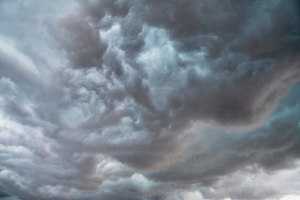
Severe Weather Threat Looms Over Central U.S. Amidst Barbecue Plans
While many residents across the central United States may be preparing to fire up their barbecues and enjoy outdoor activities today, nature is poised to deliver a very different kind of heat — in the form of intense and potentially dangerous weather. From strong winds and hail to isolated tornadoes, a full range of severe weather threats is expected to unfold, likely putting a damper on any outdoor festivities.

The Battle of Air Masses Sparks Severe Storm Development
The driving force behind today’s severe weather is the clash of differing air masses. Warm, moist air flowing northward from the Gulf of Mexico is meeting cooler, denser air masses lingering over the northern plains and Midwest. This collision sets up an unstable atmospheric environment that encourages the rapid development of strong thunderstorms.
As these contrasting air masses collide, they effectively “sandwich” a region in the central U.S. where conditions are ripe for severe thunderstorm activity. This zone will stretch across parts of the Plains and the Mississippi Valley, with storms developing throughout the day and continuing into the evening hours.
Enhanced Risk Zones Highlight Most Vulnerable Areas
The Storm Prediction Center (SPC), the federal agency responsible for monitoring severe weather threats, has issued an Enhanced Risk designation for two key regions. This risk level is number three on a five-tier scale used to indicate the likelihood and severity of storm events.
- The first Enhanced Risk zone covers a swath extending from north-central Texas into south-central Oklahoma.
- The second area runs from east-central Arkansas through northern Mississippi and reaches into the far northwestern corner of Alabama.
Surrounding these primary areas is a Slight Risk zone (level 2 out of 5), which extends from eastern New Mexico across to southwestern Tennessee, northern Mississippi, and northern Alabama. This larger region can expect scattered severe weather, though the intensity is likely to be lower compared to the Enhanced Risk zones.
Cities at the Heart of the Storm Threat
Specific cities located within the Enhanced Risk areas should prepare for the possibility of damaging weather. Key urban centers like Lubbock and Wichita Falls in Texas, along with Oklahoma City and Norman in Oklahoma, are in the direct path of the most intense storms expected today. These communities should remain especially vigilant.
Other cities that, while slightly outside the highest risk zone, may still encounter severe conditions include Dallas and Tulsa in Oklahoma, Little Rock in Arkansas, Memphis in Tennessee, and Birmingham in Alabama. Residents of these metropolitan areas should not dismiss the threat, as localized severe storms could still produce damaging winds, hail, and even brief tornadoes.
Severe Thunderstorm Watch and What It Means
To alert residents to the immediate potential for severe weather, the National Weather Service has issued a Severe Thunderstorm Watch covering southeastern Oklahoma, southern Arkansas, far southwestern Tennessee, and northern Mississippi. This watch encompasses cities such as Norman, Oklahoma; Little Rock and Pine Bluff, Arkansas; Memphis, Tennessee; and Tupelo, Mississippi.
A “watch” means conditions are favorable for severe thunderstorms to develop, and people should be ready to take protective action if a warning is later issued. It’s crucial for those in the watch area to keep a close eye on weather updates and be prepared to move to safety on short notice.
Potential Weather Hazards: Wind, Hail, Tornadoes, and Flooding
The storms forming today will bring multiple hazards:
- Damaging Wind Gusts: Wind speeds are forecast to exceed 50 to 60 miles per hour in many areas, which can down trees and power lines, damage roofs, and create dangerous driving conditions.
- Large Hail: Thunderstorms may produce hailstones large enough to dent vehicles, break windows, and harm outdoor pets or livestock.
- Isolated Tornadoes: While less frequent, brief tornadoes cannot be ruled out, especially in the Enhanced Risk zones. Tornadoes pose a severe threat to life and property, so monitoring local alerts is essential.
- Heavy Rain and Flash Flooding: Alongside these storm hazards, heavy rainfall is expected, especially in northern Texas, central Oklahoma, northern Arkansas, and southern Missouri. Rainfall totals between 2 to 4 inches are anticipated, with some localized areas possibly receiving up to 5 inches. Such intense rain raises the risk of urban flooding and dangerous flash floods, prompting Flood Watches in those regions.
Flood Safety: “Turn Around, Don’t Drown!”
With the potential for flash flooding, it is critical to remember a key safety rule: never attempt to drive through flooded roadways. Water depth can be deceiving, and just a few inches of fast-moving water can sweep a vehicle off the road. The National Weather Service’s slogan “Turn Around, Don’t Drown” serves as an important reminder that it’s safer to find an alternate route or wait for floodwaters to recede than to risk crossing flooded areas.
Understanding Watches vs. Warnings
It’s important to distinguish between the terminology used in severe weather alerts:
- A Watch means that the atmospheric conditions are favorable for severe weather to develop. This is a heads-up to stay alert, keep informed, and prepare to act.
- A Warning means severe weather is imminent or already occurring in your area. Immediate action should be taken to protect life and property, such as seeking shelter indoors or in a safe room.